Knowledge Centre- Subject Index Main Help page |
Building a map
Example images from the collection
When the British area was surveyed as an emergency early in the war, a full blown geodetic grid was not available of the same quality and accuracy as one set out in peacetime. The technique adopted was to take map detail from French & Belgian 1:80,000 maps and redraw that at 1:10,000 and 1:20,000. This was not a satisfactory process.
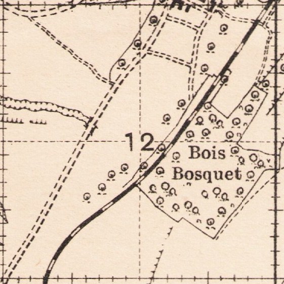
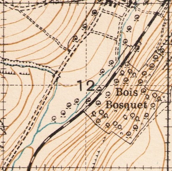
Despite that, a locally accurate map could be built using fixed points then detail added as an overlay such as in this sequence of contemporary examples from the collection, part of sheet 57E SE. When fitting a Great War map to modern maps, these techniques need to be borne in mind. Whilst some points may be accurately placed, that does not apply to every detailed "wiggle" in a road or placement of a farm building.
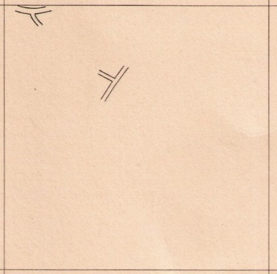
Road junctions placed relative to a fixed point
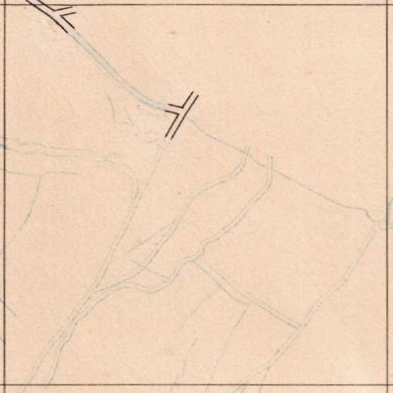
Road detail sketched in by techniques such as a theodolite or compass traverse.
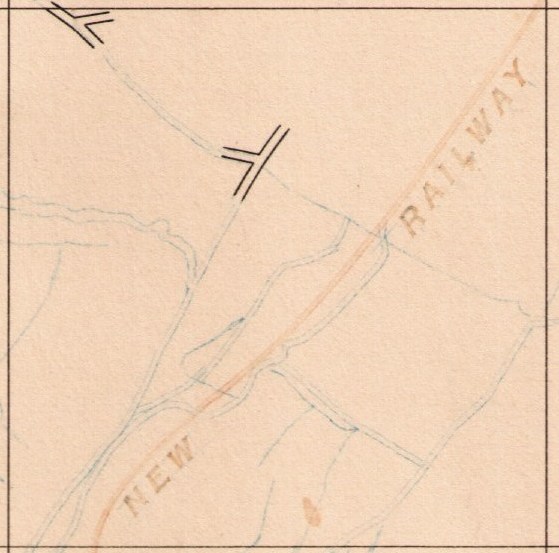
More detail added such as railways
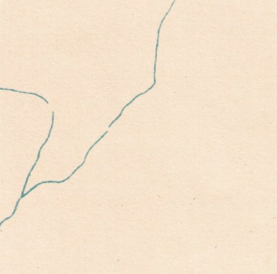
Rivers and streams
Woods and embankments

Contours
Final assembled basemap ready to be over printed with trenches at a later date
Knowledge Version 2 1.1